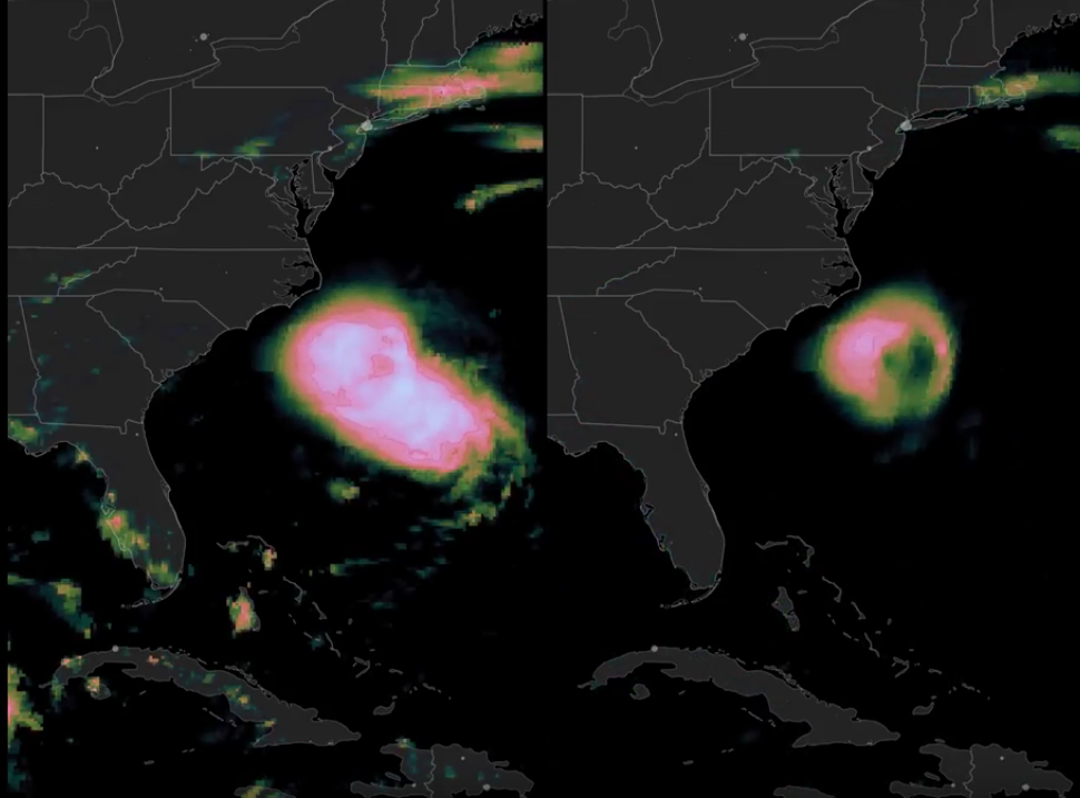
For days, Hurricane Florence’s relentless bands of heavy rain fell on North Carolina, as shown in these satellite-based estimates of precipitation from NASA’s IMERG algorithm. The left side of the screen shows the storm-total rainfall rising, starting on Thursday, September 13, at 9AM EDT. The right side of the screen tracks the storm using a 3-hour-average rain rate throughout the duration of the storm. Hurricane Florence’s abrupt slowdown near landfall in North Carolina is easily discernable in the 3-hour rain rate. NASA Goddard generates these realtime estimates by calibrating, merging, and morphing data from the international constellation of rain-observing satellites in Earth orbit. Credit: NASA Video Courtesy: NASA Video | YouTube
Shipping, Tow, and Rig Move Forecasts
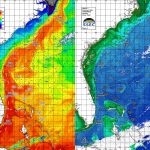
Current and Eddy Forecast Samples